Since starting this blog and gaining more followers on my new social media sites, I have been getting questions about how I choose my adventure locations. I’m here to tell you that it’s a lot of research, some planning, and does involve taking quite a few wrong turns at times! That being said, here are some of my favorite resources I use when planning a trip.
No matter when you’re going, where you’re going, your trip duration, or party size, Air BnB is the way to go if you aren’t staying in a hostel. It’s a great way to get to know the local people and definitely an Eco-tourism option! Communicate your needs with your host before arrival whether that be your need for transportation, ideas on where to eat, activities to do, tours to go on, anything! The price for Air BnB ranges depending on what amenities you are looking for and the duration of you stay. Not to mention, this is a website that can just suck you in! Every time I’ve had an Air BnB experience, it’s been a good one, which is why it made it to the top of my travel resources list.
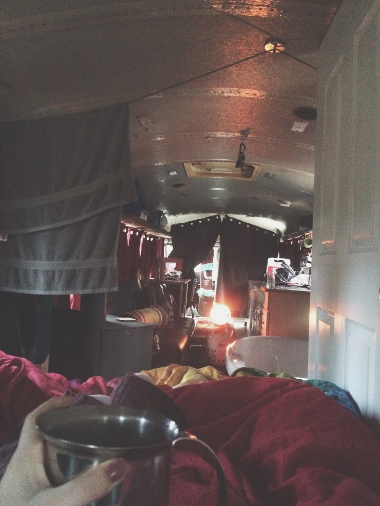
On a recent trip, I rented a refurbished bus through Air Bnb!
When I’m looking at places to travel for adventures, getting a good price on airfare is a must. Skyscanner looks through hundreds of different airline providers and creates packages of flights that get you to your destination for the lowest price. The one thing that I will say that is a minor negative about using Skyscanner, is that you have to watch your connecting flight times, especially when booking international travel. This is because you could have a crazy long layover, or one that lasts only an hour, which is never long enough to pass through customs! Just be warned! The nice thing is, once you’ve decided upon a flight (or think you have) you can select the flight and see the detailed itinerary of your departure schedule.

No matter if you’re traveling international or domestically, nothing will be as useful to you as a map. No, not the one on your phone, a real paper map. In the link above, I linked my favorite map brand, the Gazetteer. I started using these maps because they were what my dad used to find our adventure locations as kids. They have state parks, National Parks, classified wilderness areas, camp grounds, topography, etc. The Gazetteer for the states of Wyoming, Idaho, and Washington have been staple items in my travels along with many other hard copy maps.
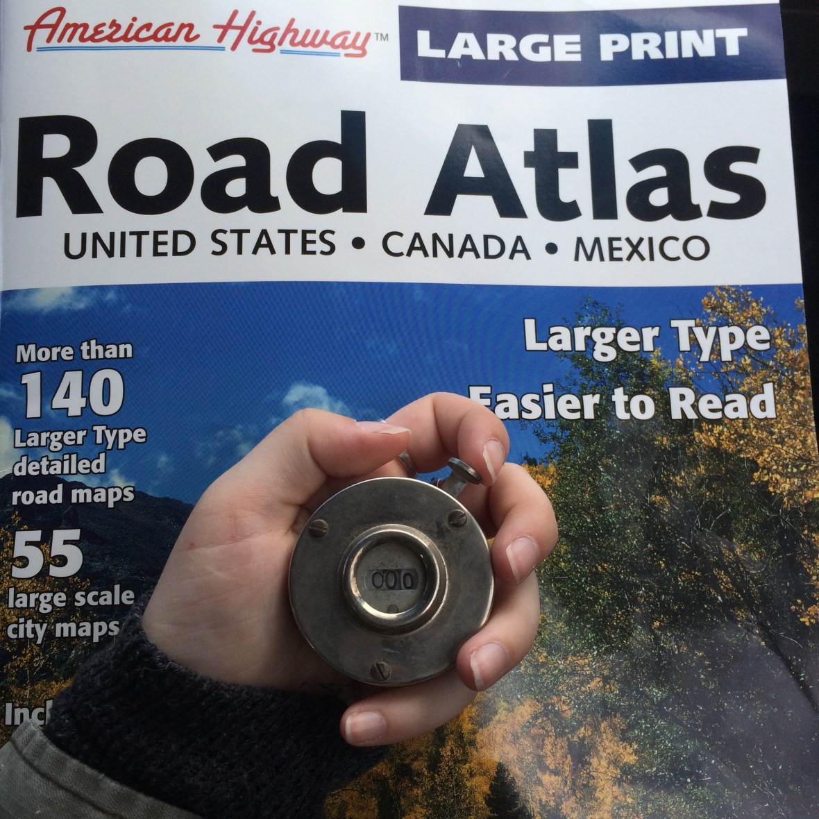
One of my many maps along with Adolph Murie’s Game Counter
Literally one of my favorite tools ever for finding adventure locations. With each update, it changes a little bit (sad that there isn’t the photo map feature, this was one of my favorites), but finding amazing locations on Instagram is so easy! It helps to follow people that also like to adventure and geo-tag their locations. Look up hashtags that link to places in your area. If in Washington State, search tags such as #pnwadventures #pnwmicroadventures ,#wanderwashington or #upperleftusa. Get creative with your searches so that you can find places to go in your area and don’t forget to tag your own adventures for others!
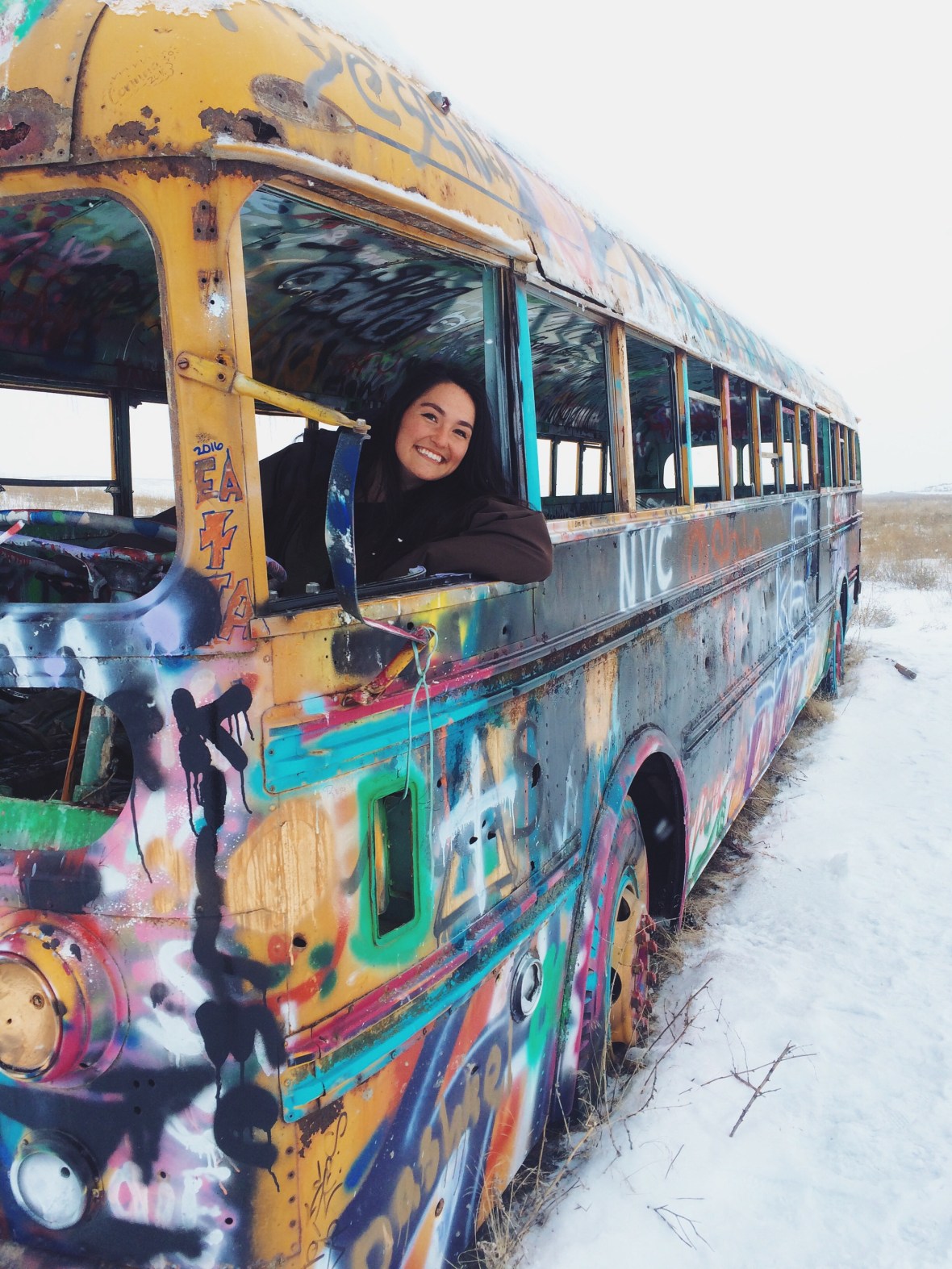
Most recently found #thatpnwbus while searching Instagram for adventure ideas in the Palouse
For those of you here in the great Pacific Northwest, this website is a great tool to get you started adventuring though this great region! Started by Recreation students at Western Washington University, the site can be used as a tool to find locations to travel around the PNW. This includes parts of Washington, and British Columbia, Canada. There are links to possible hiking, biking, snow sports, climbing adventures, kayaking and rafting adventures, tour providers, eco-lodges, and much more! They even have pre-made itineraries that you’re more than welcome to check out and use on your own adventure.
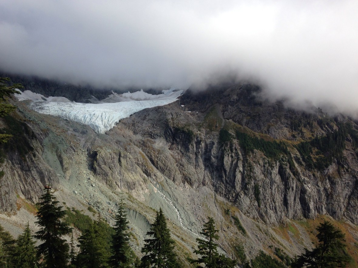
Adventure location up in the Mt. Baker Snoqualmie National Forest
As I further my own travel education, I’m sure that there will be many more sources to add! These are just the staple items that I currently use to find many of my adventure locations, also remember that you can ALWAYS just follow the brown signs and/or #maketrails on your own (:
